Slideshow Header


  • " />

    Visit our new website

    lakbaybuhay.com
  • " />

    Adventure is out there

    lakbaybuhay.com
  • " />

    Your wave is waiting

    lakbaybuhay.com
  • " />

    Let's take a roadtrip

    lakbaybuhay.com
  • " />

    It's always sunny above the clouds

    lakbaybuhay.com
  • " />

    Yes... we can drive a stick

    lakbaybuhay.com
  • " />

    fresh start... and a beautiful new beginning

    lakbaybuhay.com
  • " />

    On the road

    lakbaybuhay.com
  • " />

    Let's get outta here

    lakbaybuhay.com
  • " />

    Happy hour at the beach

    lakbaybuhay.com
  • " />

    Life is never easy for those who dream

    lakbaybuhay.com

Nuffnang Ads

Saturday, October 22, 2011

Mt. Daguldol and Naambon Falls

Mt. Daguldol in San Juan Batangas


Our Itinerary:

Day 1

Start Trek
0330 Assembly at 7-Eleven Buendia Taft
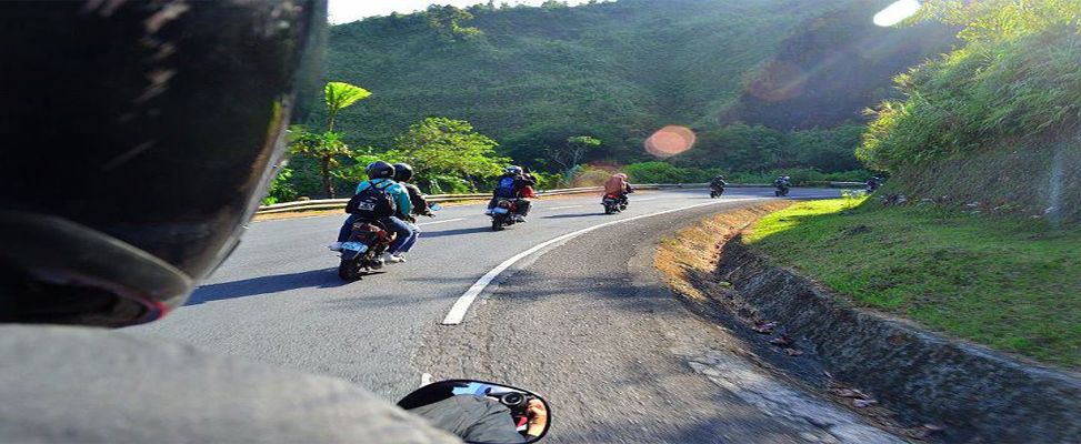
0400 From Buendia Taft Take Bus going to Lipa
0600 At Lipa: Breakfast, rent a jeep going to Brgy. Hugom
0800 ETA Brgy. Hugom; Arrange for Guides.
0830 Start Trek - Beach Front
1100 ETA Mang Lizardo's place
1200 ETA Niyugan Campsite, Piknik Camp
1330 Start Trek going to summit
1400 ETA Summit
1500 ETD from Summit, Start Descent
1630 Back at Mang Lizardo's Place
1800 ETA Beach. Set Camp (BEACH CAMP PARTY) Sunset
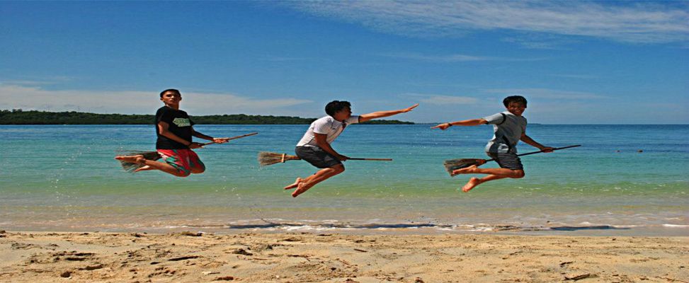
1830 - Onwards (Food Preparation, Activities, Social, Swimming) BUT WAIT THERE'S MORE!!

Day 2
Entering Sitio Naambon
0500 Wake up call
0530 Prepare Breakfast
0600 SWIMMING NA!.. 
0900 Prepare Lunch
1100 Early Lunch
1300 Pack-up
1400 ETD Manila
1700 ETA Manila


Ascent


  Mt. Daguldol is situated in Brgy. Hugom, San Juan Batangas - boasting of its height at 670 meters above sea level.  The jump-off area is near the seaside where you can have a sidetrip, with a lot of resorts to choose rom after going down.


Established House along the trail

Breaktime (buko time)
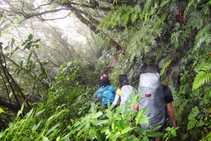
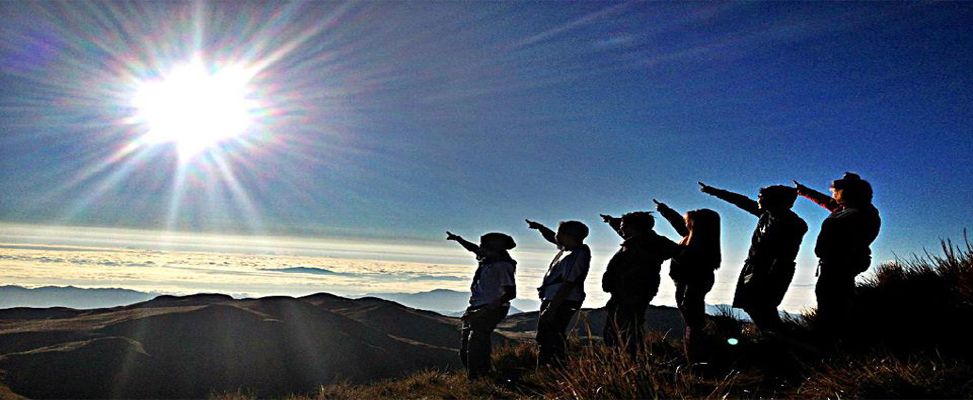
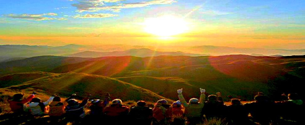
Approaching Summit

 The first part of the trail is a seascape of the beach, then turns from moderate to gradual, passing by woodlands and light forests. There was a stop-over halfway of the trail where you can buy a fresh buko and halo-halo. All of us bought one.

As we continue our climb, we often passed through flat areas which we would assume to be the summit already.


Snacks (summit)


Descent


The best part of the trek was the rewarding and victorious feeling for reaching the top. What made our experience bizarre was the cow that welcomed us with its "MOOOOO".  We had a short time of snacks and decided to descend.


This mountain offer also a sidetrip to a falls, located at the foot of the mountain near the jump-off. “Naambon”, in its local dialect, means “drizzling”. A closer look at the physical features of the falls reveals why. The water in it drops from a huge boulder covered with a rough surface. It is not hard to imagine that during the rainy season, the surge of water in the falls would flow very fast over the rough boulder and drizzle into the surroundings.
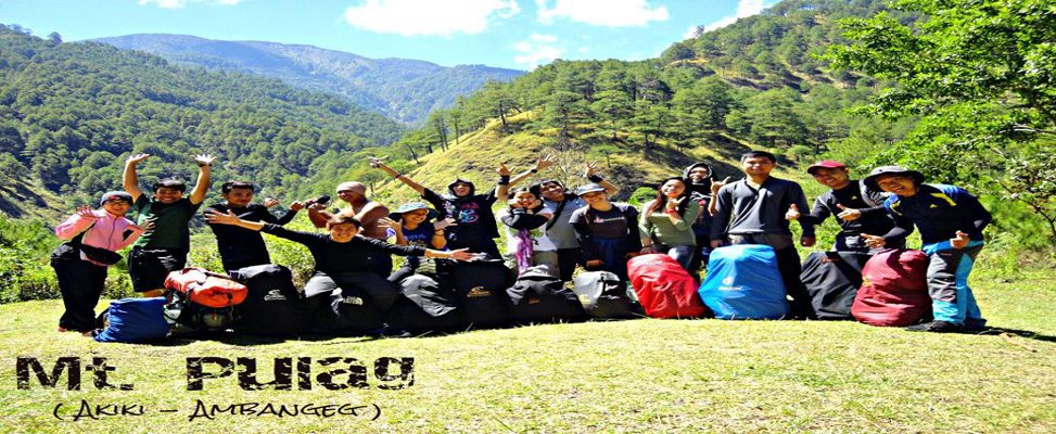
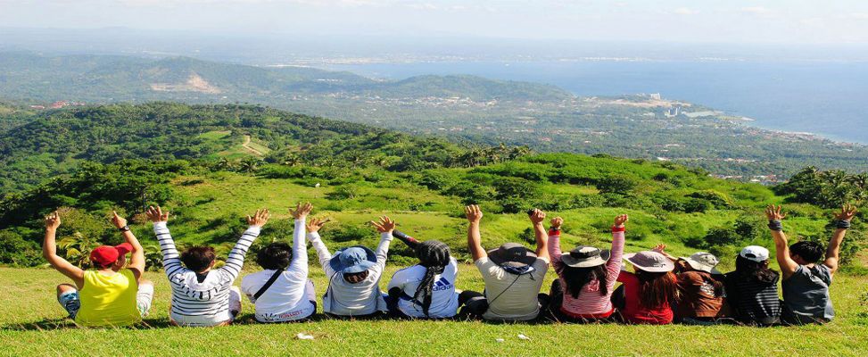


After a quick dip, we decided to go back to our cottage and prepare for lunch. The girls took a jeepney ride all the way to resort, then the boys continued trekking. Afterwards, we rest for a while, packed our things then headed back to Manila.

Another great escape to urban life. Until our next climb...


Group Picture


Hagulgol sa Mt. Daguldol Video <------  
Budget Breakdown:

250 - Share Gasoline
150 - Share Food (Butane)
50 - Share Cottage

Sunday, October 9, 2011

Manabu Peak Traverse

Manabu Peak in Sto Tomas Batangas

Our Itinerary:

Day 1


0400 assembly gate2
0500 ETA ALPS terminal-Cubao
0600 ETD to Lipa
0800 ETA Fiesta Mall Lipa Batangas, take jeep/tricycle to Sitio Talisay
0830 Reach jumpoff(Talisay) Start trek
1000 ETA water source
1100 ETA Susong dalaga, Lunch
1200 Descent
1300 Fork
1700 Malipunyo, Pitch camp
1800 Prepare dinner
1900 Dinner Socials
???? Lights out

Day2
Traversing Manabu Peak From Malipunyo


0600 wakeup call / prepare breakfast & packed lunch for Manabu
0730 breakfast
0800 exploration
0830 breakcamp
0900 descent/trek to manabu
1100 Lunch
1200 Resume trek
1530 ETA Manabu / Explore vicinity
1700 Reach Sto Thomas
1830 ETD Cubao
2000 ETA Cubao 
2100 Cogeo

Descent


 We continue our traverse to Manabu Peak from Mt. Malipunyo. Our chosen exit point is Sto Tomas, Batangas. Manabu Peak is known as a "Cofee Mountain"  because at the middle of the trail, there's a hut owned by Mang Pirying, who offers homemade "Kapeng Barako" - absolutely for free.


Dalandan (along the trail)
Pomelo (along the trail)
Atis (Aling the trail)
Group Picture (way to Manabu)


Manabu Peak (seen from the trail of traverse)


It took 6hours of trekking just to reach Manabu Peak, that's excluding the time to prepare for lunch and some occasional rest. We're thankful that we saw some fruits along the trail as it served as our trail food. A refreshing buko that quenched our thirst.


Kuya Mario (finding the trail)
Night Descent

We reached the Manabu Peak around 1730H - with no clearing for us that time. We took some picture then decided to head down to Mang Pirying's place. When we reached the hut, we feated at the Kapeng Barako that Mang Pirying's offered. We rest there for about 30 minutes, then we decided to head down  to jump-off.


Take 5
 We used the comfort room of the locals who also offer Kapeng Barako. We just paid them 20 pesos each for "ligo", then gave 500 pesos to Kuya Mario plus an additional 300 pesos and 2 Empi lights to reward him for being an awesome guide to us.

After we settled and finished packing our things, we bade our final goodbyes to Kuya Mario and to the friendly locals who opened their home for us. Then we headed back to Manila.

We took our late dinner at Chowking Cubao. It was a tiring yet memorable climb for us.. Until Next Climb!
Late Dinner 0130H (day 3)

Group Picture (Manabu Peak Summit)

Budget Breakdown:

24 - Cogeo - Cubao
130 - Cubao - Lipa
20 - Tricycle - Jump-Off
10 - Reg Fee
50 - Share Guide
80 - Share Food
20 - Tricycle to Lipa
130 - Lipa - Cubao
24 - Cubao - Cogeo
100 - Dinner (day 2)

Saturday, October 8, 2011

Mt. Malipunyo Traverse

Mt. Malipunyo in Lipa Batangas

Our Itinerary:

Day 1

Group Picture before the climb (so fresh!)
0400 assembly gate2
0500 ETA ALPS terminal-Cubao
0600 ETD to Lipa
0800 ETA Fiesta Mall Lipa Batangas, take jeep/tricycle to Sitio Talisay
0830 Reach jumpoff(Talisay) Start trek
1000 ETA water source
1100 ETA Susong dalaga, Lunch
1200 Descent
1300 Fork
1700 Malipunyo, Pitch camp
1800 Prepare dinner
1900 Dinner Socials
???? Lights out

Day2
Start Trek
0600 wakeup call / prepare breakfast & packed lunch for Manabu
0730 breakfast
0800 exploration
0830 breakcamp
0900 descent/trek to manabu
1100 Lunch
1200 Resume trek
1530 ETA Manabu / Explore vicinity
1700 Reach Sto Thomas
1830 ETD Cubao
2000 ETA Cubao 
2100 Cogeo


 Mt. Malipunyo belongs to the Malarayat mountain range, located around the municipalities of Sto Tomas and Talisay Batangas.

The traverse hike can be done in many ways - depending on the entry and exit point the group will choose. The itinerary can also vary depending on the number of peaks desired, and if there is a sidetrip.


Ascent

Lomi with Homi

Break Camp


 Our chosen entry point is Sitio Talisay, assisted by our guide "Kuya Mario". At first the weather is not that good, as it's been raining since we left Manila. We dropped by at Fiesta Mall and took our breakfast while waiting for Kuya Mario.We started our trek around 0900H and reached the first water source around lunch time. As the rain continued, the trail started to become muddy and slippery. We reached peak 1, then peak 2 a few minutes after, and decided to set our camp at peak 3.


Descent


We decided not proceed with our socials that night due to bad weather. We broke our camp early the next morning and took few pictures (we weren't able to get clearing due to the weather conditions) as a remembrance of our hike. Afterwards, we continued witht our traverse going to Manabu Peak.


View along the trail


Trail Sign

 There was a time along the trek when the rain suddenly stopped, enough for us to see a clear view of surroundings. Some trail sign can be seen. Our guide is well-versed about the trail so we're pretty much confident during our trek.. The best part of our traverse going to Manabu was when were able to feast on a lot of fruits trees like pomelo, dalandan, mango, buko among others, and this serve as our trail food..

Follow our traverse to Manabu Peak...
Click this link


View from the Trail to Manabu

Group Picture (Mt. Malipunyo Summit)
Mt. Malipunyo-Manabu Traverse Video <------

 Budget Breakdown:

24 - Cogeo - Cubao
130 - Cubao - Lipa
20 - Tricycle - Jump-Off
10 - Reg Fee
50 - Share Guide
80 - Share Food
20 - Tricycle to Lipa
130 - Lipa - Cubao
24 - Cubao - Cogeo
100 - Dinner (day 2)